Start point: Kechmadin village
End point: Khalit waterfall
Start altitude: 825m
End altitude: 1104m
Ascent: 425m
Descent: 146m
Duration: 3 hours
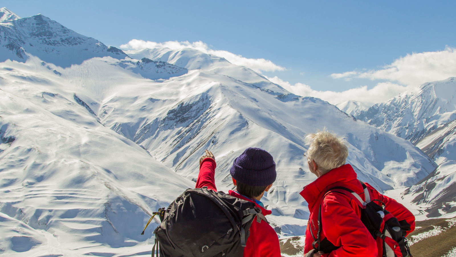
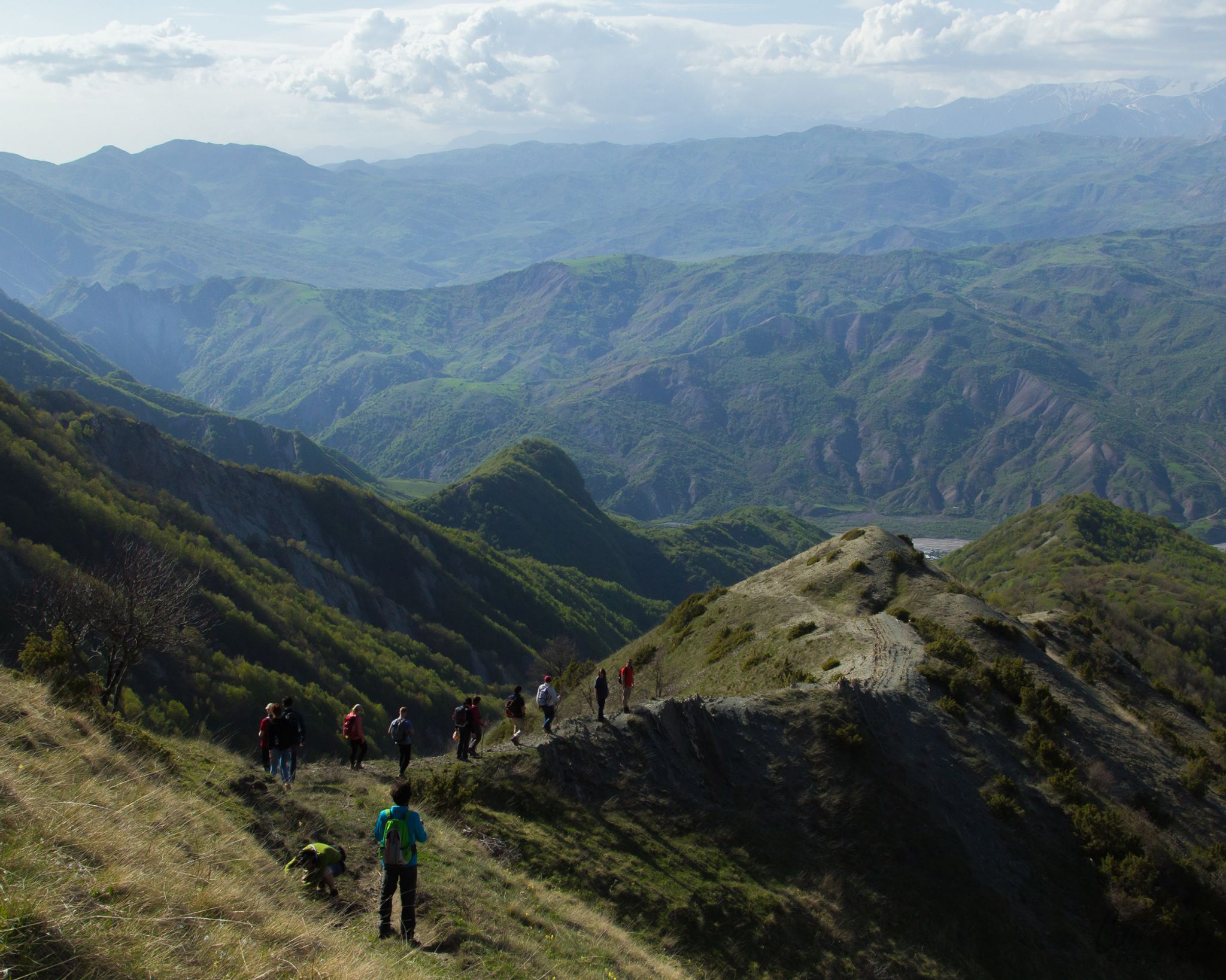
Kechmadin and Galadarasi villages are 22 km from the centre of Shamakhi. Its population is Turkic. Villages are surrounded by forests and mountains on all sides. The Mountain villages of Shamakhi are in the territory of Shahdag National Park. There is almost no road to the villages because the road is in the riverbed and every year, because of the overthrow of the Agsu river, the road is destroyed.
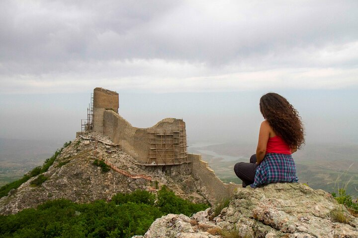
There are remains of the Bugurd fortress belonging to the XII-XV centuries in Kechmadin village. The fortress dates to the time of Shirvanshahs, which existed in that area at that time. The tower was a shelter for Shirvanshah during the Mongol invasion. The treasury of the Shirvanshahs state was kept in this castle.
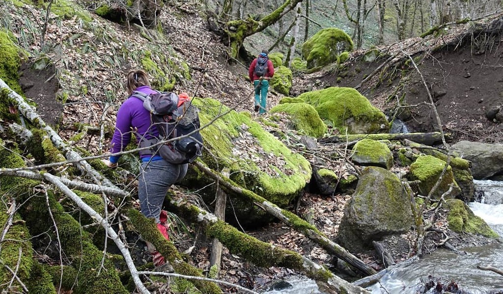
The route ends with the Khalit waterfall, which is drawn from tall rocks. The road leading to the waterfall crosses the great cliffs covered with moss. Khalit Waterfall is located 2km from the village of Galadarasi. The route starts from the village of Kechmadin and goes to Bugurd Castle, Galadarasi village and Khalit Waterfall by a queue. We go from the Khalit waterfall to the village of Galadarasi. To go to the village of Kechmadin, and to come back from the village of Galadarasi, there are used an offroad car.
Tour Program:
Including:
| Pax number | 1 | 2 | 3-6 | 7-10 | 11-13 | 13-15 |
|---|---|---|---|---|---|---|
| Price PP (USD) | 229 | 108 | 88 | 47 | 33 | 32 |