Start altitude: 640 m
End altitude: 1025m
Ascent: 380m
Duration: 2 hours
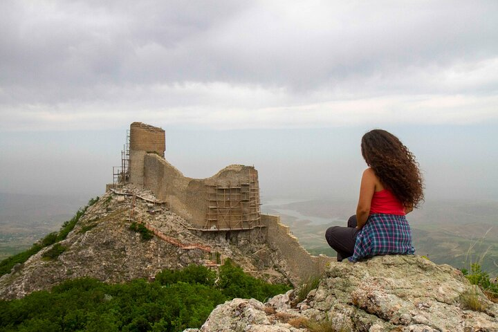
The village of Galaalti is 43 km from the Shabran district centre and is 640 meters above sea level. The name means ‘the village under the castle. The residence is named because of the building on the bottom of the Chiragqala fortress belonging to the IV-VI century AD. Near the village treatment of important mineral water comes out.
Chiraggala, the highest point of the Gilgilchay wall of defence was built in the IV-VI centuries to protect the Great Silk Road. From the main tower rising above a cliff, which is about 100-120 meters high, it was possible to control 100 km along the seashore Beshbarmak wall on one side, and till Demirgapi Derbent on the other.
Tour Program:
Including:
| Pax number | 1 | 2 | 3-6 | 7-10 | 11-13 | 13-15 |
|---|---|---|---|---|---|---|
| Price PP (USD) | 178 | 96 | 68 | 34 | 22 | 18 |